The WMO Just Issued a Strong El Niño Warning for 2026, and the World Has Reason to Pay Close Attention
The Pacific Ocean has been sending a signal, and the World Meteorological Organization is now telling everyone to listen. On June 2, 2026, the WMO El Niño warning arrived with unusual directness: an 80% likelihood of El Niño developing between June and August 2026, and probabilities near or above 90% that it will persist at least until November. Most forecast models suggest the event will be at least moderate. Possibly strong.
That is not the kind of language meteorologists use casually.
Why the WMO El Niño Warning for 2026 Should Concern Everyone
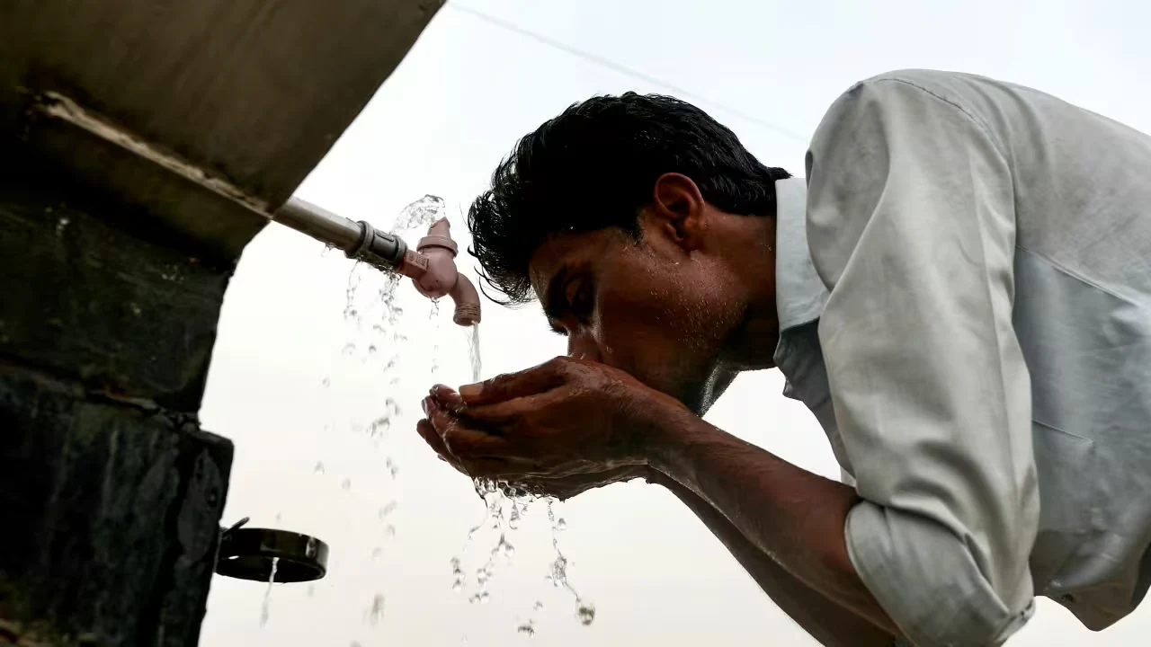
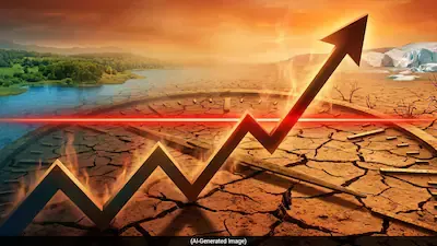
The last major El Niño, which ran through 2023 and 2024, was one of the five strongest on record. It pushed 2024 to become the hottest year in recorded history, approximately 1.55 degrees Celsius above pre-industrial levels. That kind of heat does not stay abstract. It shows up as wildfires burning through thousands of hectares, monsoons arriving late or not arriving properly, crops failing in places that cannot afford to fail.
WMO Secretary-General Celeste Saulo put it directly: the world needs to prepare for a potentially strong El Niño event that will exacerbate drought and heavy rainfall and increase the risk of heatwaves both on land and in the ocean.
UN Secretary-General António Guterres framed it even more starkly, saying El Niño conditions will pour fuel on the fire of a warming world, and that impacts will hit harder, travel farther, and cross borders with devastating speed.
That phrase, cross borders with devastating speed, deserves to sit with you for a moment.
What El Niño Actually Is, Explained Simply
El Niño is not a storm. It is a shift in the entire Pacific climate system. Here is what happens: the tropical trade winds that normally blow westward across the Pacific weaken. When they weaken, the vast pool of warm water that sits in the western Pacific drifts eastward. Normally, cold water wells up from the ocean depths in the eastern Pacific, keeping sea surface temperatures cool. El Niño disrupts that process, leaving unusually warm water stretched across the central and eastern equatorial Pacific.
Those warmer ocean surfaces heat the atmosphere above them. That changes rainfall and temperature patterns worldwide. Some regions flood. Others bake.
It is part of a natural cycle called the El Niño-Southern Oscillation (ENSO), which alternates between El Niño, La Niña, and neutral phases roughly every two to seven years. Each episode typically lasts nine to twelve months.
The problem today is that this naturally occurring pattern now operates against a backdrop of human-induced climate change. As WMO data confirms, climate change does not necessarily increase El Niño frequency, but it significantly amplifies its consequences.
The Numbers Behind the Current WMO Forecast
The WMO's quarterly El Niño-La Niña Update reported that in late April to mid-May 2026, sea-surface temperatures in the central-eastern equatorial Pacific were already approaching El Niño thresholds. Subsurface ocean temperatures were more than 6 degrees Celsius above average. Those subsurface readings matter because they are a leading indicator of what the surface will do in the coming months.
Read More: Why China’s Wang Yi Is Skipping the BRICS Delhi Meet — And What It Signals for Global Diplomacy
WMO Climate Prediction Chief Wilfran Moufouma Okia noted that climate models are now strongly aligned, with high confidence in El Niño onset followed by intensification.
Forecasts for June-July-August project a nearly universal dominance of above-normal temperatures across virtually all parts of the globe.
Regional Impacts: Who Gets Hit and How
The geography of El Niño impact is not uniform. Drought conditions are expected across parts of South Asia, Australia, and southern Africa. The Indian monsoon carries particular risk in El Niño years, with historical data showing that approximately 72% of drought years in India since 1901 were associated with El Niño, though not every El Niño year produces a drought.
Heavier rainfall, flooding, and landslide risk are projected for parts of South America, East Africa, Central Asia, and the southern United States. For the Indian Ocean Dipole, WMO notes it may develop into a positive phase, potentially reinforcing El Niño effects across South Asia.
Food security, water availability, mosquito-borne disease spread, energy supply, and public health systems all face compounding pressure when El Niño and climate change combine.
Closing Thoughts
Meteorologists have been tracking El Niño for decades. What is different about 2026 is the context in which it arrives. The last El Niño helped set temperature records. This one is expected to develop in a world that is already hotter than it has ever been in modern human history. The WMO is not warning people to panic. It is warning them to prepare.
Early warning systems exist. Governments have planning tools. What remains is the political and logistical will to use them before the worst arrives, rather than after.
Disclaimer: This article is based on information available across the web. Parchar Manch does not take responsibility for its complete accuracy, as the content could not be fully verified.
FAQs
What is the WMO El Niño warning for 2026?
The World Meteorological Organization issued a forecast on June 2, 2026, indicating an 80% likelihood of El Niño developing between June and August 2026, with probabilities near or above 90% that it will continue at least until November. Most models suggest the event will be at least moderate, possibly strong.
How will El Niño 2026 affect global temperatures?
El Niño is expected to push global temperatures further above already record-breaking levels. Combined with human-induced climate change, scientists believe 2027 could become the hottest year ever recorded.
What regions are most at risk from El Niño 2026?
South Asia, Australia, and southern Africa face drought risks. East Africa, parts of South America, Central Asia, and the southern United States may see above-normal rainfall and flooding. India's monsoon could be weakened.
Does El Niño always cause drought in India?
Not always. Historical data shows about 72% of drought years in India were linked to El Niño, but not every El Niño year results in deficient monsoon rainfall. Other factors, including the Indian Ocean Dipole, also influence Indian rainfall patterns.
How is the 2026 El Niño different from previous ones?
It arrives against the backdrop of a significantly warmer planet. The 2023-24 El Niño was one of the five strongest on record and made 2024 the hottest year in history. A similar or stronger event in 2026 would operate from an even higher temperature baseline.
What is the ENSO cycle?
ENSO stands for El Niño-Southern Oscillation. It is a natural climate pattern that cycles between El Niño (warm phase), La Niña (cool phase), and neutral conditions, typically every two to seven years, influencing weather patterns across the globe.